Street View Updates
Refresh outdated or missing street-level imagery with current 360° captures tailored to your location.
Fresh 360° imagery for storefronts, real estate, utility mapping, virtual tours, and field documentation — captured when you need it, not years later.
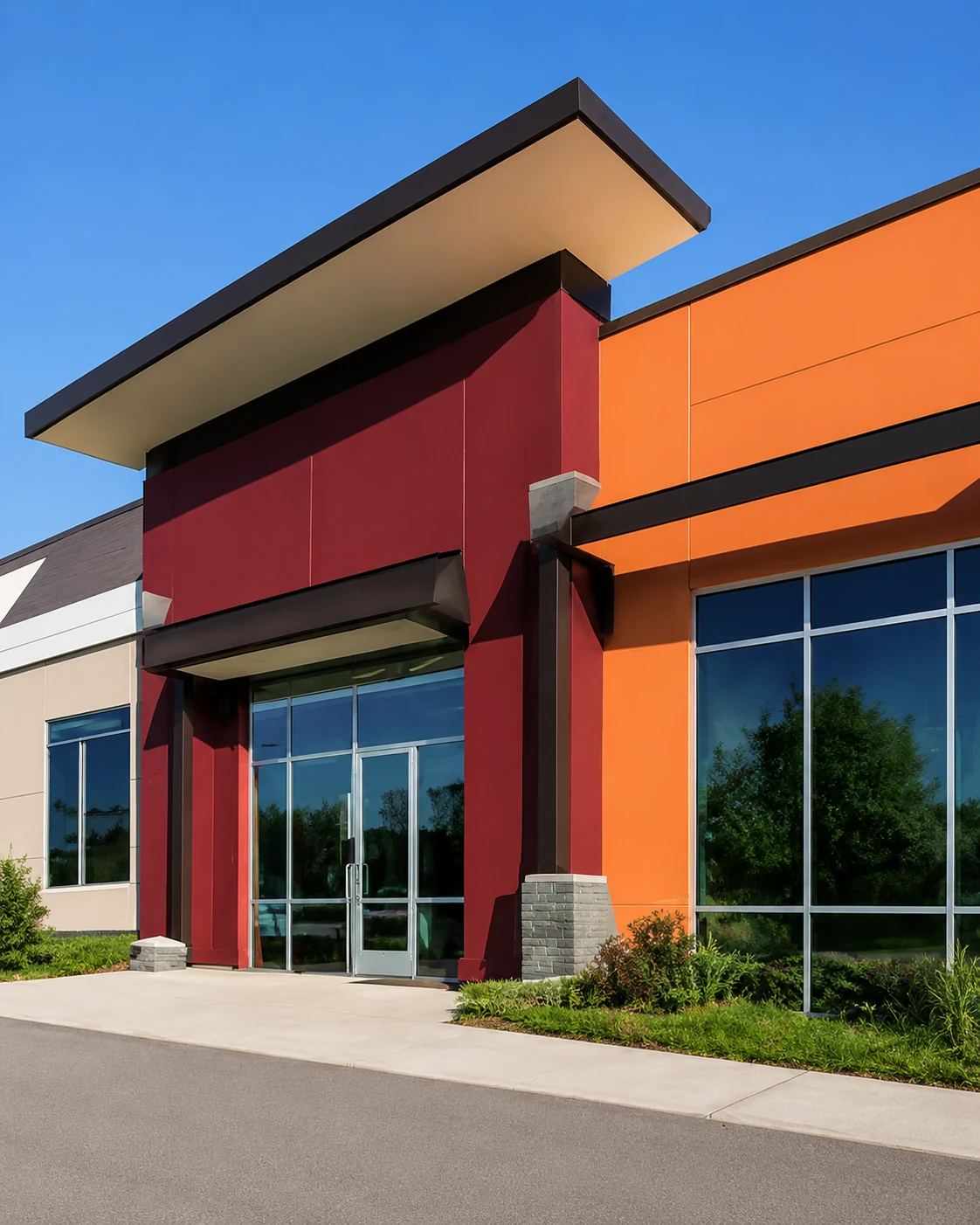 Commercial Storefronts
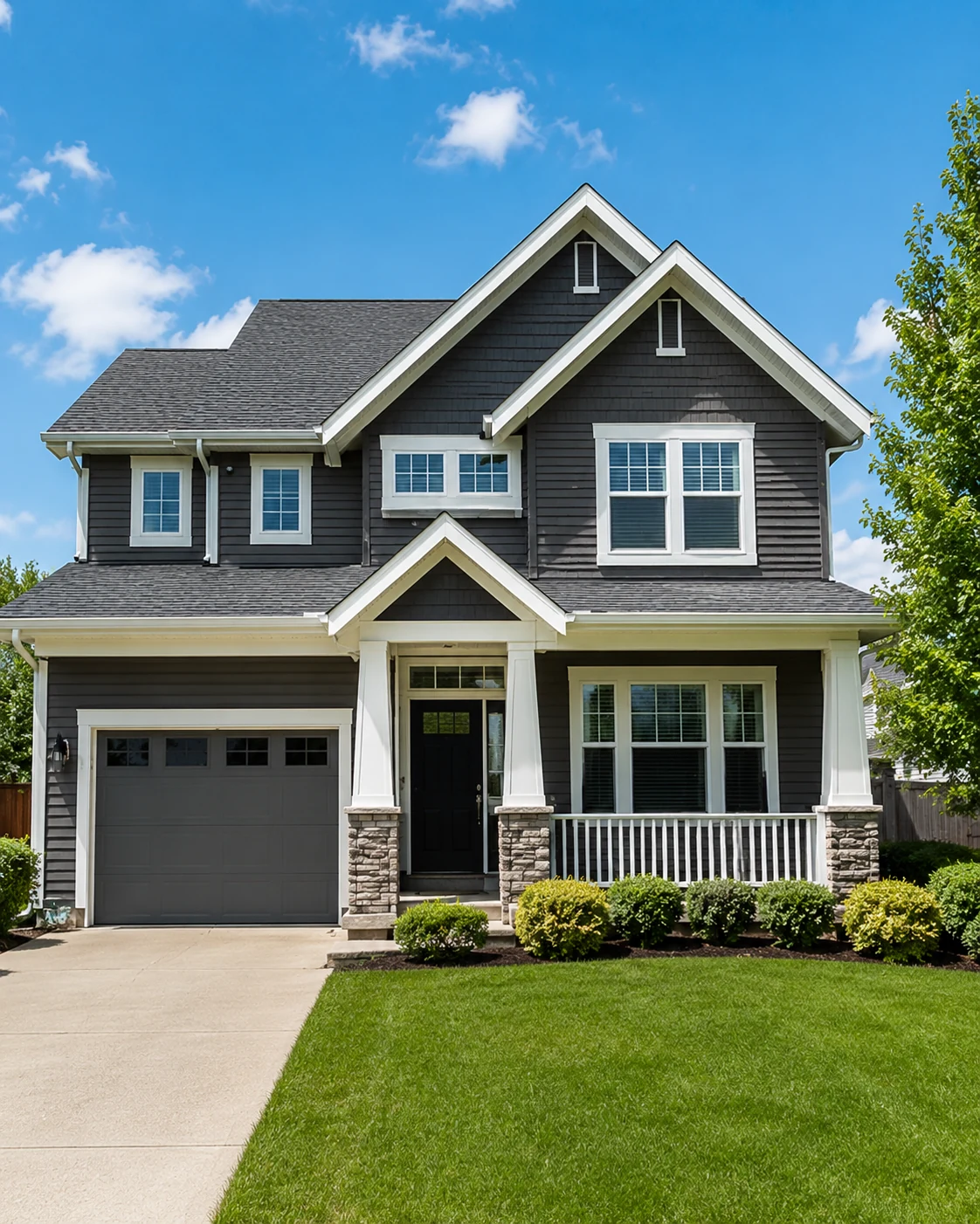 Real Estate
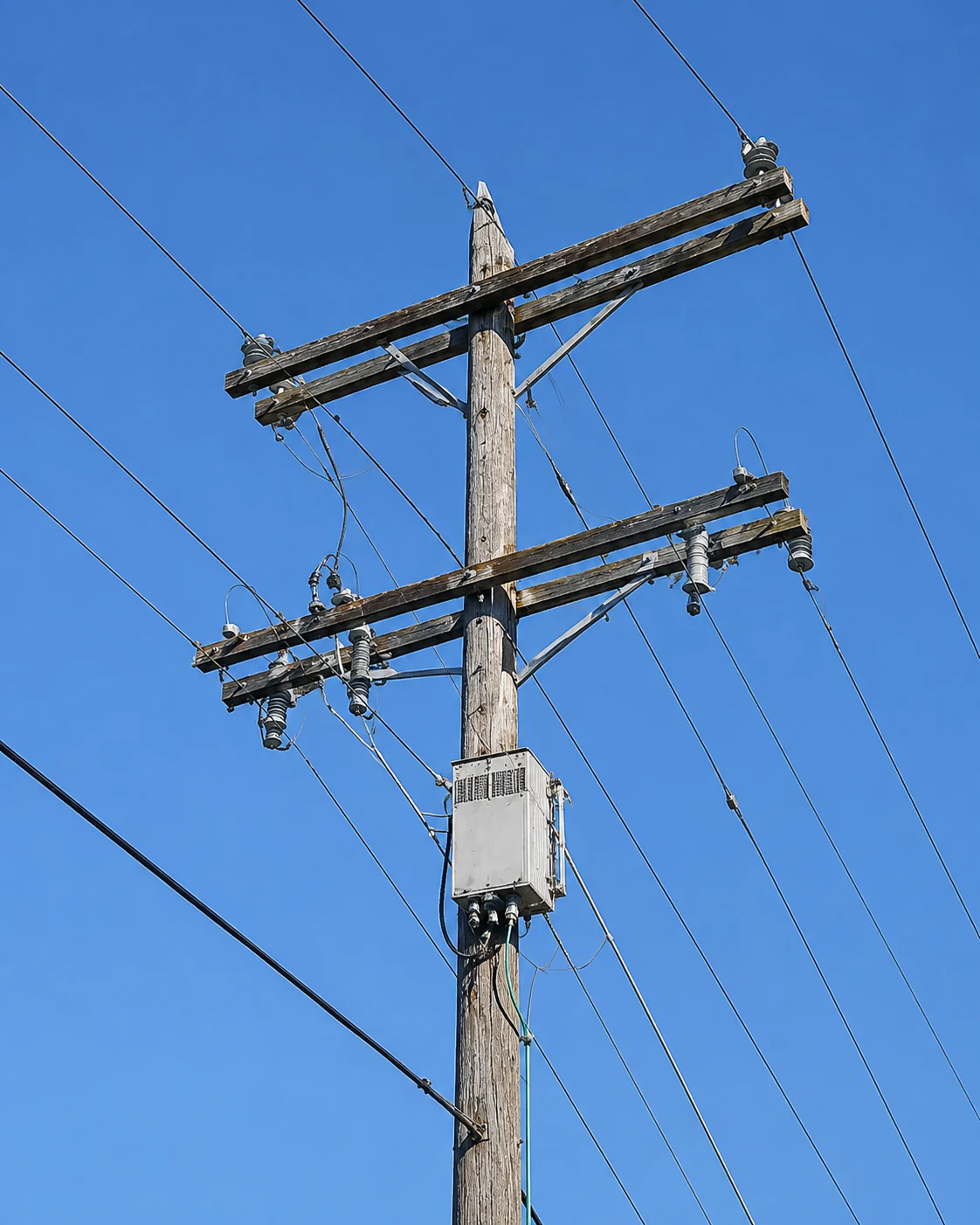 Utility Mapping
The goal is simple: give you a current, useful visual record of a place — whether that view is for customers, property documentation, field work, mapping, or a long-term archive.
Refresh outdated or missing street-level imagery with current 360° captures tailored to your location.
Show properties, access, surroundings, roads, and neighborhood context with a more immersive view.
Give customers a current view of entrances, signage, parking, access, and the real-world appearance of your business.
Document poles, lines, equipment, right-of-way conditions, and other field assets with surrounding spatial context.
Create a visual record of conditions before or after weather events for inspection, comparison, and documentation.
Publish imagery for customers and visitors, or keep it private for internal review, planning, and recordkeeping.
Street-level imagery can lag behind reality by years. Fresh 360° capture gives you a visual record tied to the moment you actually need it — with enough surrounding context to understand what was there.
The same current 360° imagery can serve very different purposes depending on who needs to see it and why.
Show the current storefront, parking, entrance, signage, surrounding roads, and the approach customers will actually see.
Capture the property together with access, surroundings, road frontage, neighboring conditions, and other useful context.
Use panoramic imagery to preserve a visual reference of poles, lines, attachments, corridors, vegetation, and surrounding conditions.
A straightforward workflow keeps the focus on the location, the imagery, and how you plan to use it.
Identify the property, route, storefront, utility corridor, neighborhood, or location that needs current imagery.
Collect a complete visual record with surrounding context rather than isolated snapshots.
Prepare the imagery so it can be viewed, referenced, archived, or tied to the project area.
Use the finished view publicly, privately, or as an internal record for future comparison.
Use UpdateMy360View.com for current street-level imagery, virtual tours, real estate documentation, utility mapping, and visual archiving.